Applicant's swept-path analysis depicts simultaneous passing at a 3.35 m pinch point
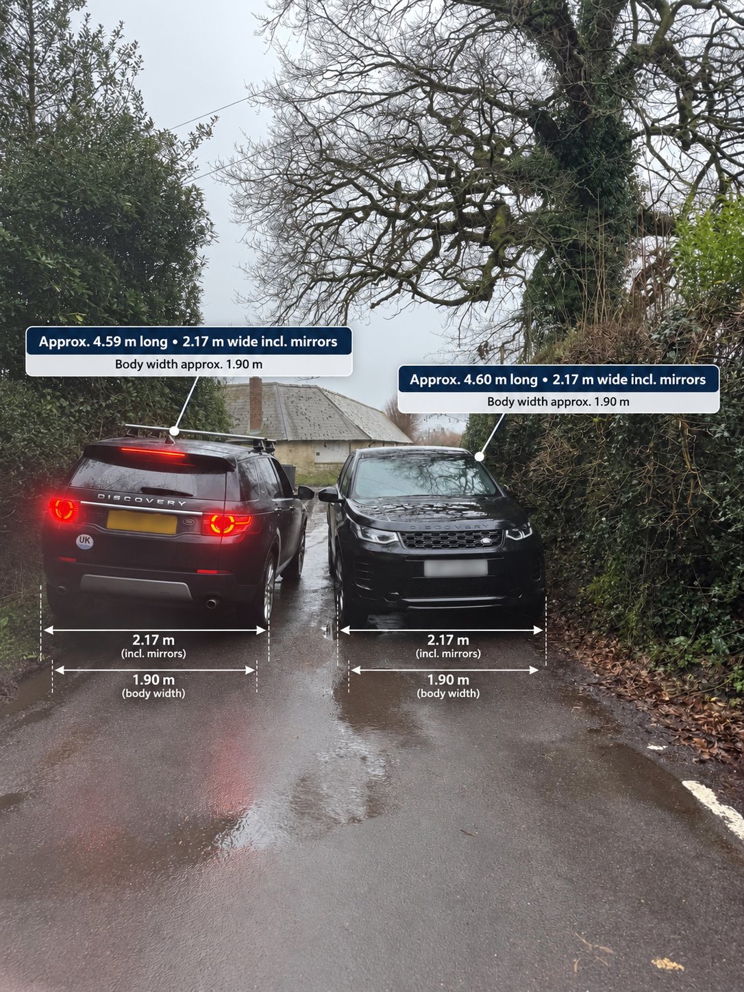
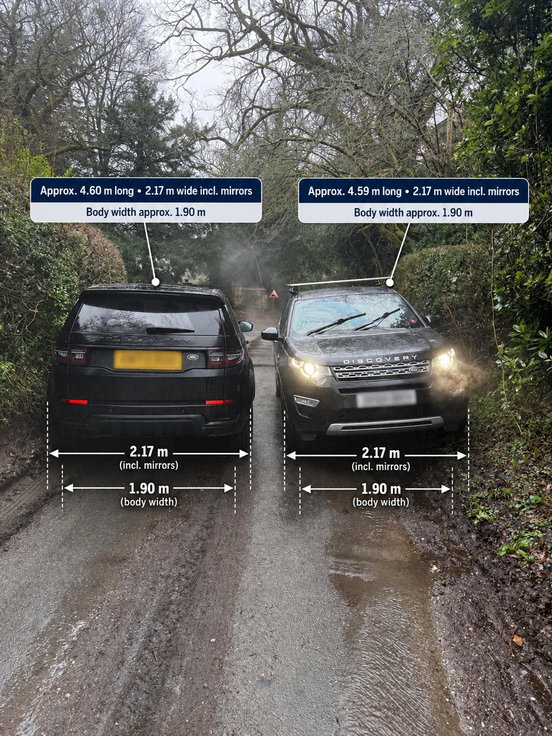
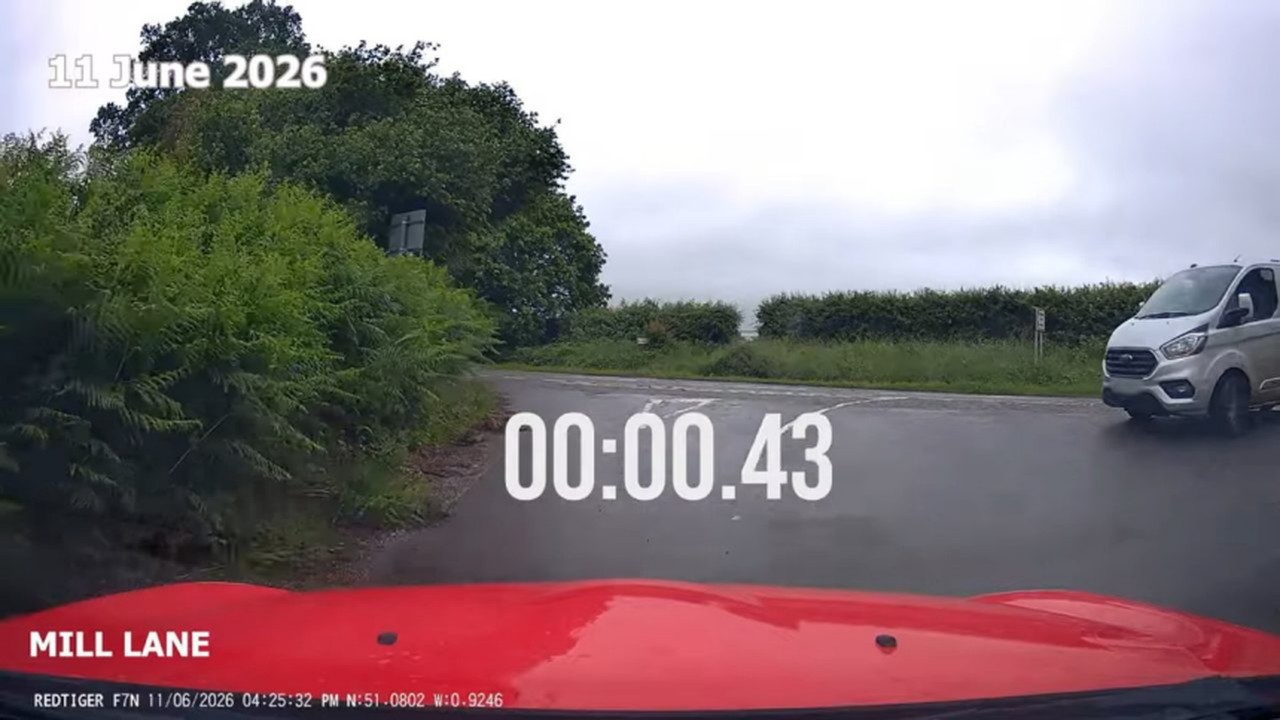
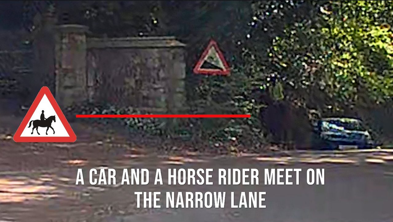
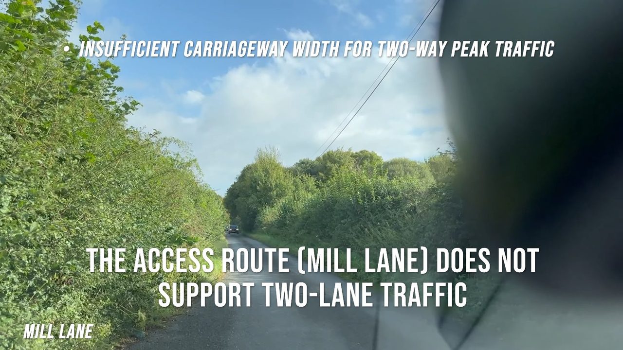
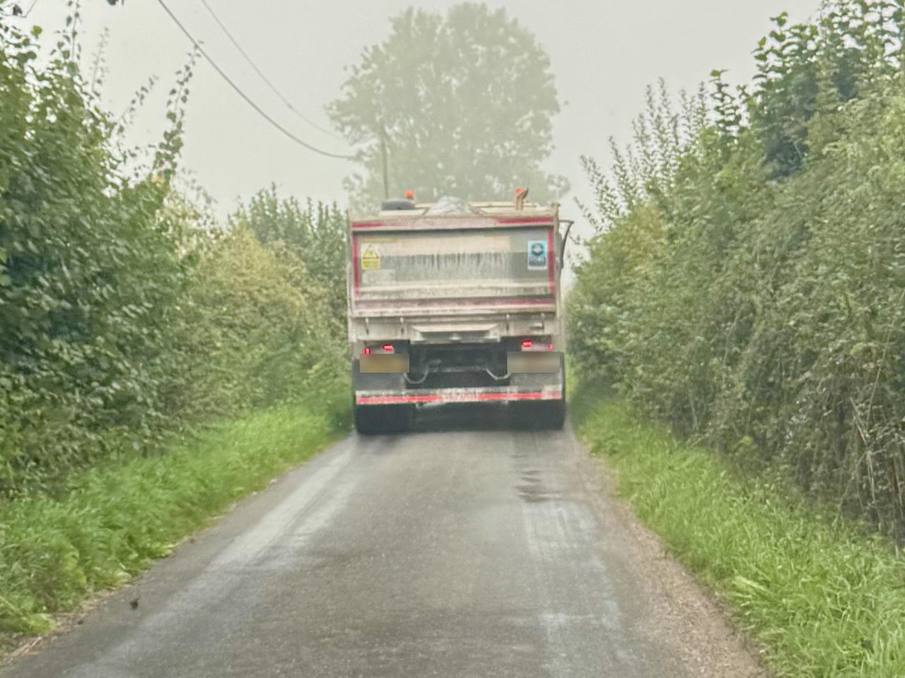
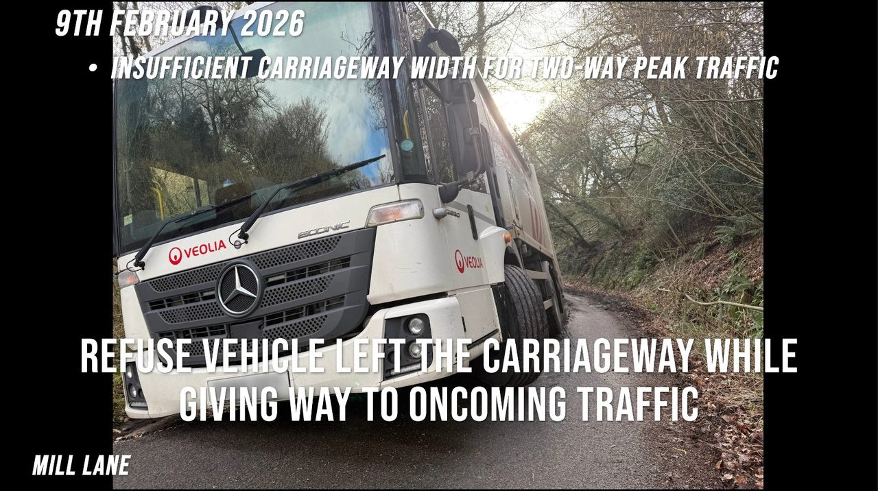
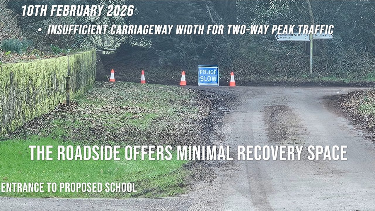
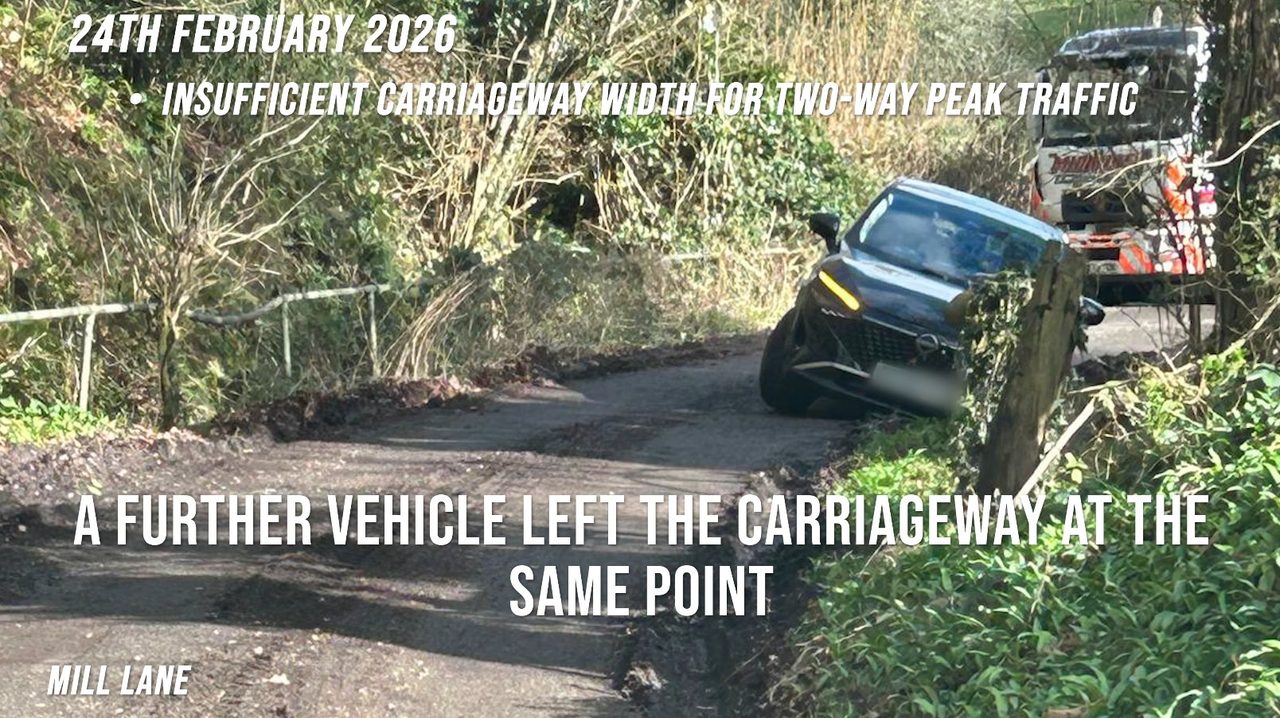
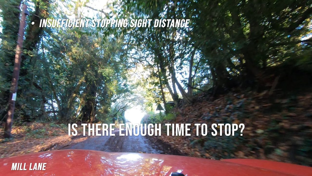
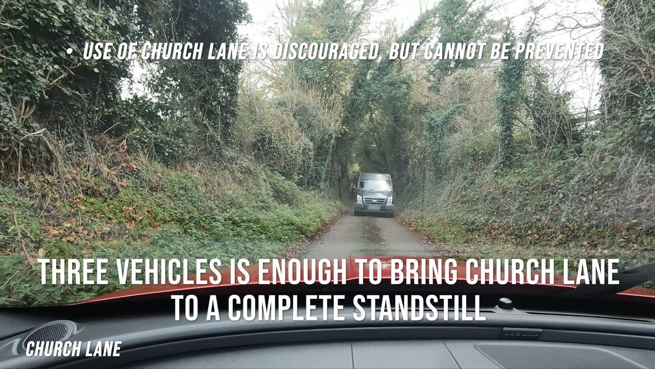
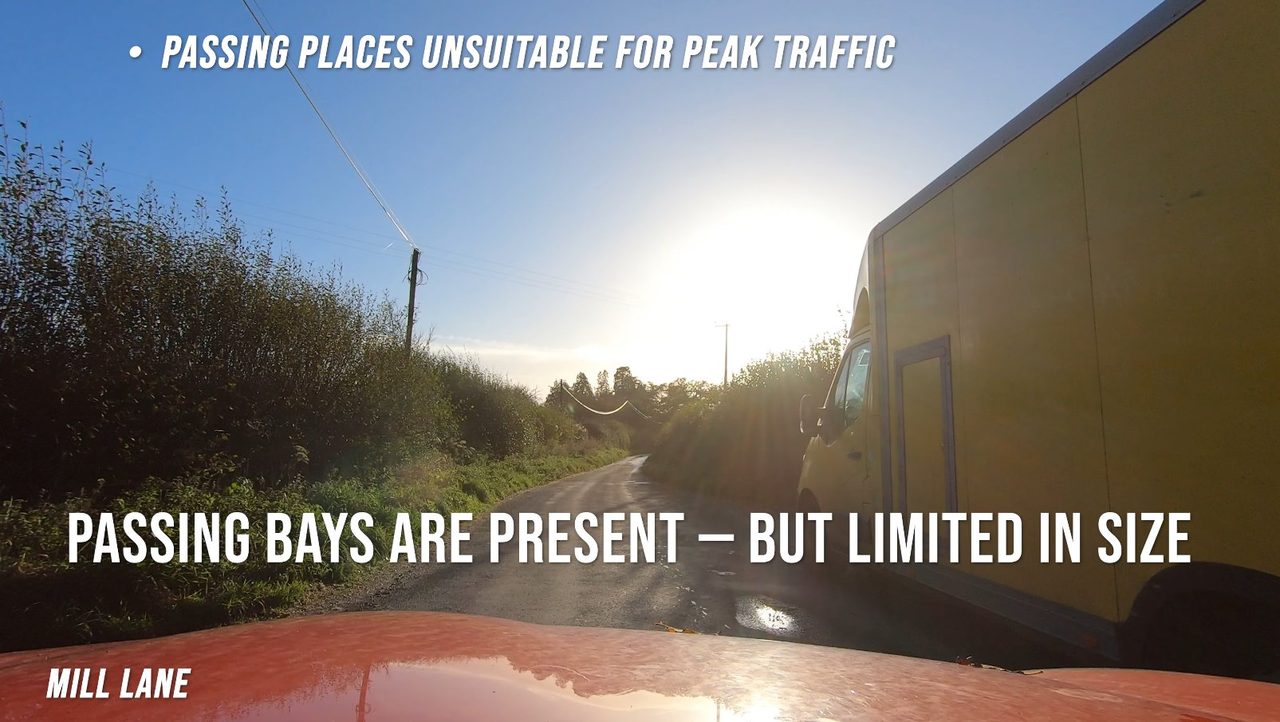
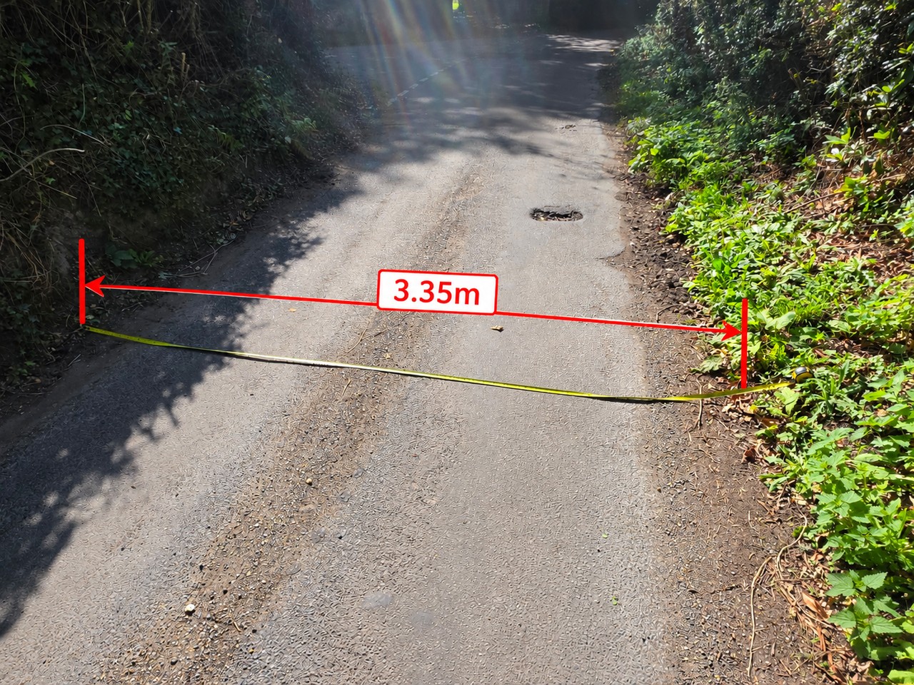
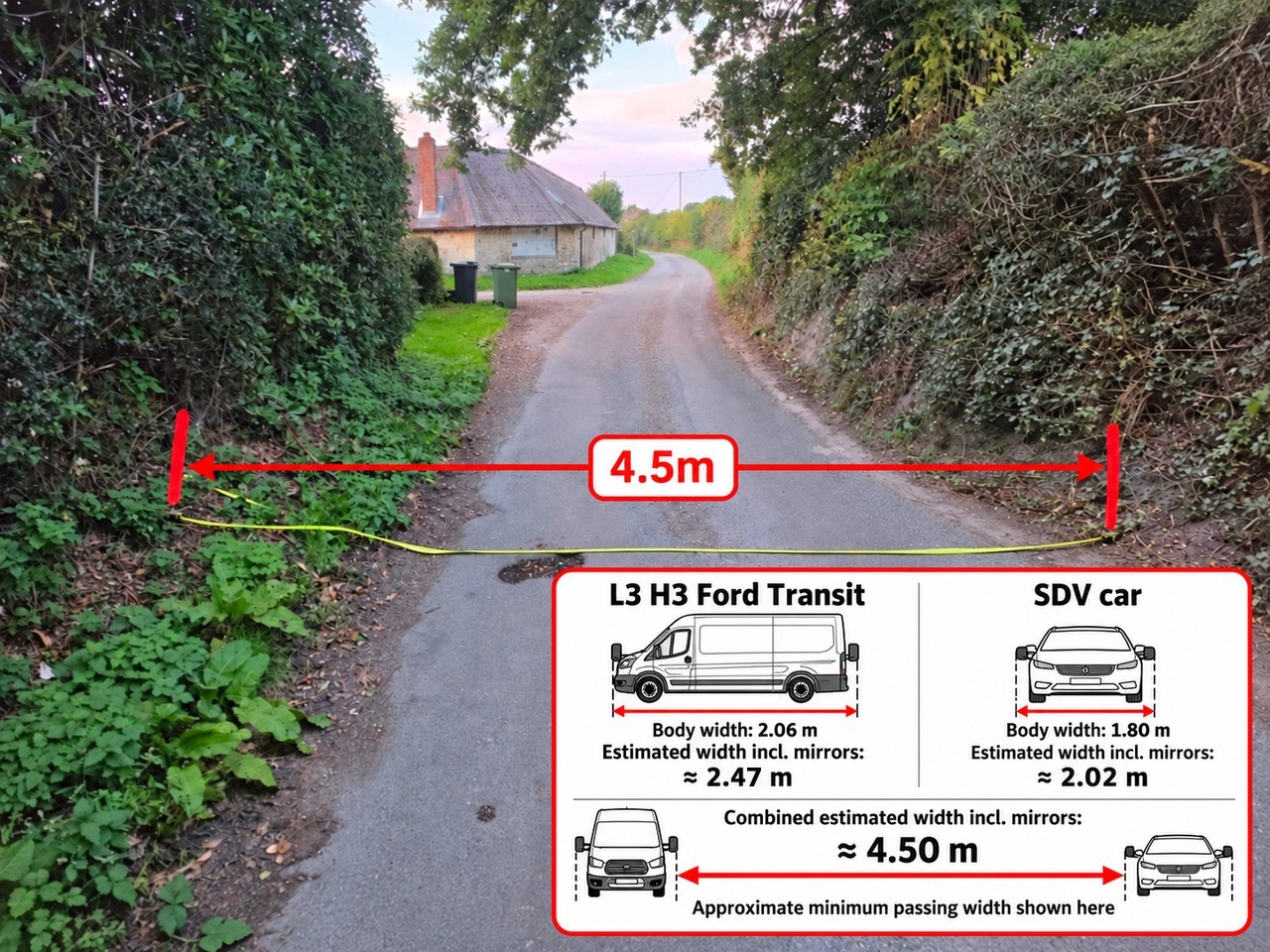
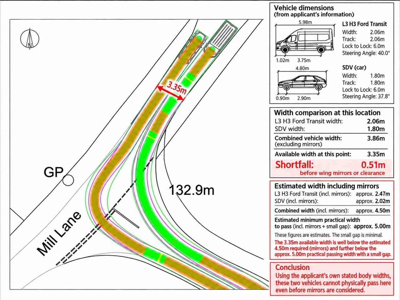
The photographs above record the measured carriageway width of approximately 3.35 m at this point on Mill Lane, alongside the roughly 4.5 m that two vehicles would actually need to pass. This is the same point through which the applicant's swept-path analysis depicts two opposing vehicle movements.
The applicant's own stated vehicle widths are 2.06 m for the L3 H3 Ford Transit and 1.80 m for the SDV, giving a combined body width of 3.86 m, excluding mirrors (Additional Highways Plans, SDNP/25/03084/FUL).
The combined stated body width therefore exceeds the measured carriageway width by approximately 0.51 m before any allowance is made for wing mirrors, clearance between the vehicles, or clearance from the edges of the carriageway. In practical terms, the discrepancy would be greater once mirrors and even a minimal passing gap were taken into account.
This raises an important question as to how the simultaneous swept paths shown on drawing TR/06 can be reconciled with the physical dimensions of the highway at this location.
This is particularly relevant because Hampshire County Council Highways expressly refers to TR/06 in its substantive consultation response and states that the drawings show a minibus and car, and two minibuses, passing simultaneously along Church Lane. Although the measured pinch point is on Mill Lane immediately beyond the Church Lane junction, the swept paths shown on TR/06 continue through the junction and across this location.
Hampshire County Council Highways also records that, with the proposed development, traffic on Mill Lane would increase to approximately one two-way vehicle movement every 90 seconds during the AM and PM school peak periods, and specifically acknowledges that this “increases the risk of two vehicles meeting along Mill Lane”.
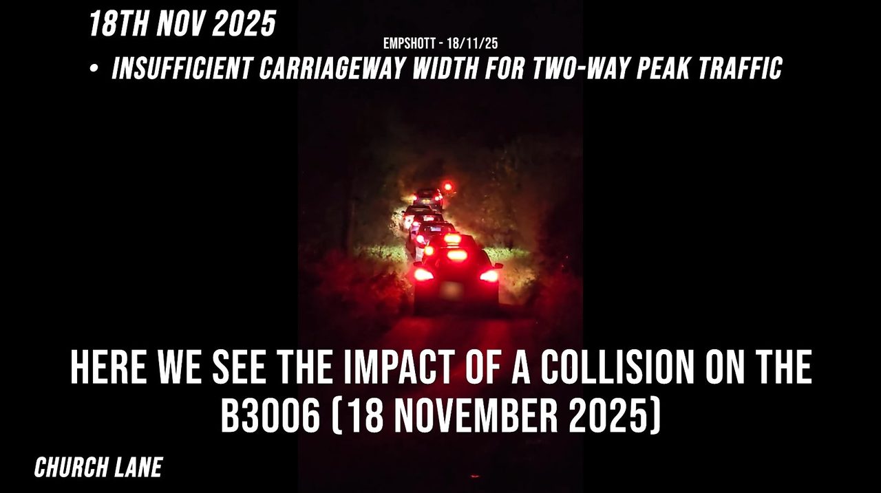
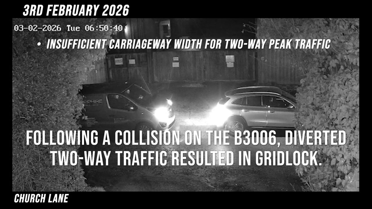
If two vehicles meet at this 3.35 m pinch point, the applicant's own dimensions indicate that they cannot simply pass one another. One vehicle would have to stop, wait, reverse or find a wider location. With substantially increased movements concentrated into the school arrival and departure periods, this creates a clear risk of recurring vehicle conflict and localised queuing close to the Church Lane/Mill Lane junction.
Are Hampshire County Council Highways aware that simultaneous passing at this specific point appears to be physically impossible, despite the submitted swept-path analysis depicting opposing vehicle movements through it? If so, has the operational consequence of vehicles having to stop, wait or reverse at this pinch point been specifically assessed when considering the proposed increase in school traffic?